


Reduce Water Use
By monitoring crop moisture levels, Cropinno helps farmers improve their water resource management.

Food Security
Sustainable farming ensures the food supply chain is robust and improves food security now and in the future.

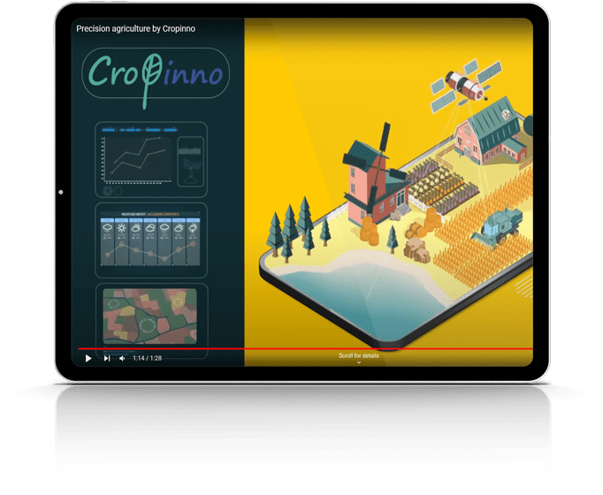
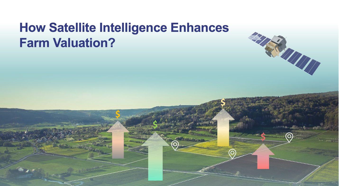
Gain a bird's-eye view of high-resolution and spectral infrared images invisible to the naked eye.

Images are updated every 2-5 days by every pass of the satellites over your field.

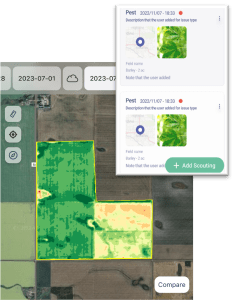
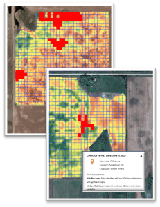
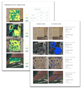
Gain instant insights through easily interpretable color-coded maps.

Zoom in to obtain detailed data on every acre. Explore and compare multiple indices.


By monitoring crop moisture levels, Cropinno helps farmers improve their water resource management.
Sustainable farming ensures the food supply chain is robust and improves food security now and in the future.

Knowing when and where to use inputs, keeps excessive chemicals from leaching into the ground and groundwater.
Soil carbon storage links to CO2 emissions. Improved crop management cuts a farm’s carbon footprint significantly.