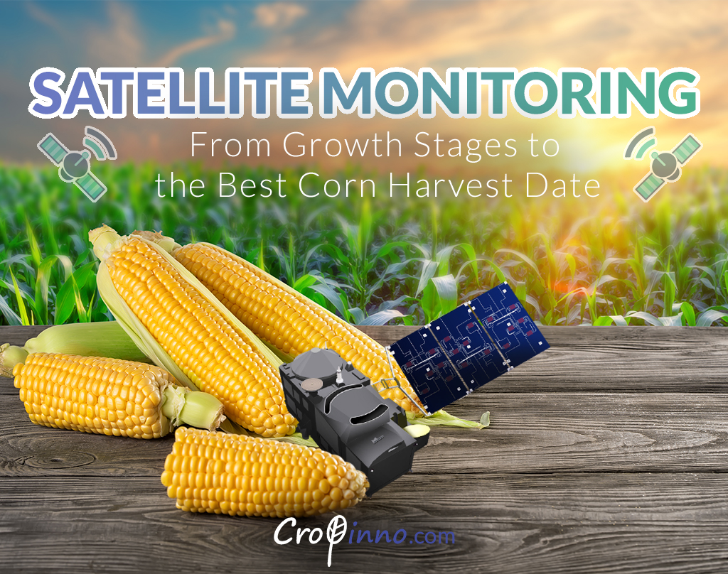
We began our journey, in Cropinno, with an idea to increase the efficiency of agricultural lands and hoping to assist farmers by implementing precision agriculture solutions that work with satellite imagery. Satellite remote sensing technology is able to obtain very useful information about the condition and growth of various agricultural products by sending and receiving ultra-spectral frequencies. For example, by measuring the parameters (and graphs) of growth, greenness, leaf surface and the moisture level of leaves in a corn field, the satellite can identify the growth stages of the plant and the time when the plant enters a new stage, which helps the farmers to know the best time to harvest their corn. Obviously, controlling this matter helps the crop go through every stage of its growth in the best way and ultimately, the final yield will be ideal.
Today, farmers can easily monitor their land(s) and obtain the latest information about their crop miles away from the field. They can receive detailed agricultural tips for each field (and of course, any area of a field). In this article, we are going to talk about the benefits of precision agriculture and remote sensing technology for corn farmers and the corn crop, and see how satellite monitoring of corn can detect the plant’s nutritional needs and by separating its growth stages, lead the crop growth in the most optimal way and also bring the best yield by determining the best corn harvest date.
Identifying the Corn Growth Stages
Field management strategies will only lead to improved corn yield if we can identify and separate the stages of corn plant growth where potential yield is affected. For example, the effects of each of the natural activities or events including fertilization, frost or hail, moisture stress, plant diseases, insect damage, and pesticide application on crop yield are determined by the growth stage at which these events occur. Corn growth stages are classified as vegetative or reproductive. A corn field’s vegetative or reproductive stage is normally measured by the time when at least 50% of the plants in the entire field have reached or exceeded a given stage. Obtaining accurate numerical statistics in this regard may seem a bit difficult with the usual methods, but fortunately, by using satellite remote sensing technology that has been used in precision agriculture platforms such as Cropinno, it is easy to see what percentage of the entire corn field is in which growth stage and the time of plant phase changes can also be also recognized, so that important decisions can be made in order to achieve the best final yield when the best corn harvest date arrives.

Efficient Fertilizer Use, Based on Growth Stage
Like other crops, the corn crop, is affected by soil conditions, irrigation method, weather condition and fertilization use, and can show different performance and final harvest based on how it is treated by human activities and/or natural phenomena. Corn, like any other crop grown in the field, needs to be properly treated during the growing period and receive its nutritional feed, irrigation, etc. needs at the right time, in the right way and with the right amount. Precision agriculture based on remote sensing technology helps us to accurately identify the needs of the corn crop at each growth stage by first, detecting the growth stages of corn and then, extracting accurate data about other growth and health parameters of the crop and by that, assisting the farmer with decisions to take appropriate action to meet crop needs.
Detection of Corn Plant Pests & Diseases
When the corn growth stages is determined by satellite maps and plant growth charts, it is time to monitor the uniformity (or actually the non-uniformity) of crop growth in the field, which in Cropinno is displayed as a green-to-red color spectrum map over the satellite image of the entire field surface. This ability, will help a lot to detect plant stress, the spread of pests and possible plant diseases at early stages. Monitoring the non-uniformities over the field, plus already knowing plant’s temperature needs at each stage of plant growth, will let farmers and agriculture consultants to identify the stress cause as soon as a problem is visually identified on the map and compared with the growth/temperature chart.

Solutions to Increase Plant Resistance (vs. Moisture Stress)
The combination of satellite data and land data (soil analysis) information helps farmers, farm consultants and agricultural engineers to know what solutions can work to strengthen the plant against moisture stress if the irrigation period increases, which is mainly due to the lack of water resources.
Determining the Best Corn Harvest Date
Remote sensing satellites and the information they extract from agricultural lands will eventually lead to finding the best corn harvest date and increasing the quantity and quality of this farm product. In harvesting corn, 30 to 35% is the ideal dry matter amount. Corn harvested with a dry matter content below 30% usually has very little starch. If the content is above 35%, more product loss may happen during corn storage. But is this controllable over the entire field? With precision agriculture tools like Cropinno, corn farmers can constantly monitor their field with an accuracy of 10x10m, and with more accurate management, the whole field can be directed to a more uniform growth and reach the harvest stage at the same time.

